Geocoding cohort addresses for satellite-based exposure linkage
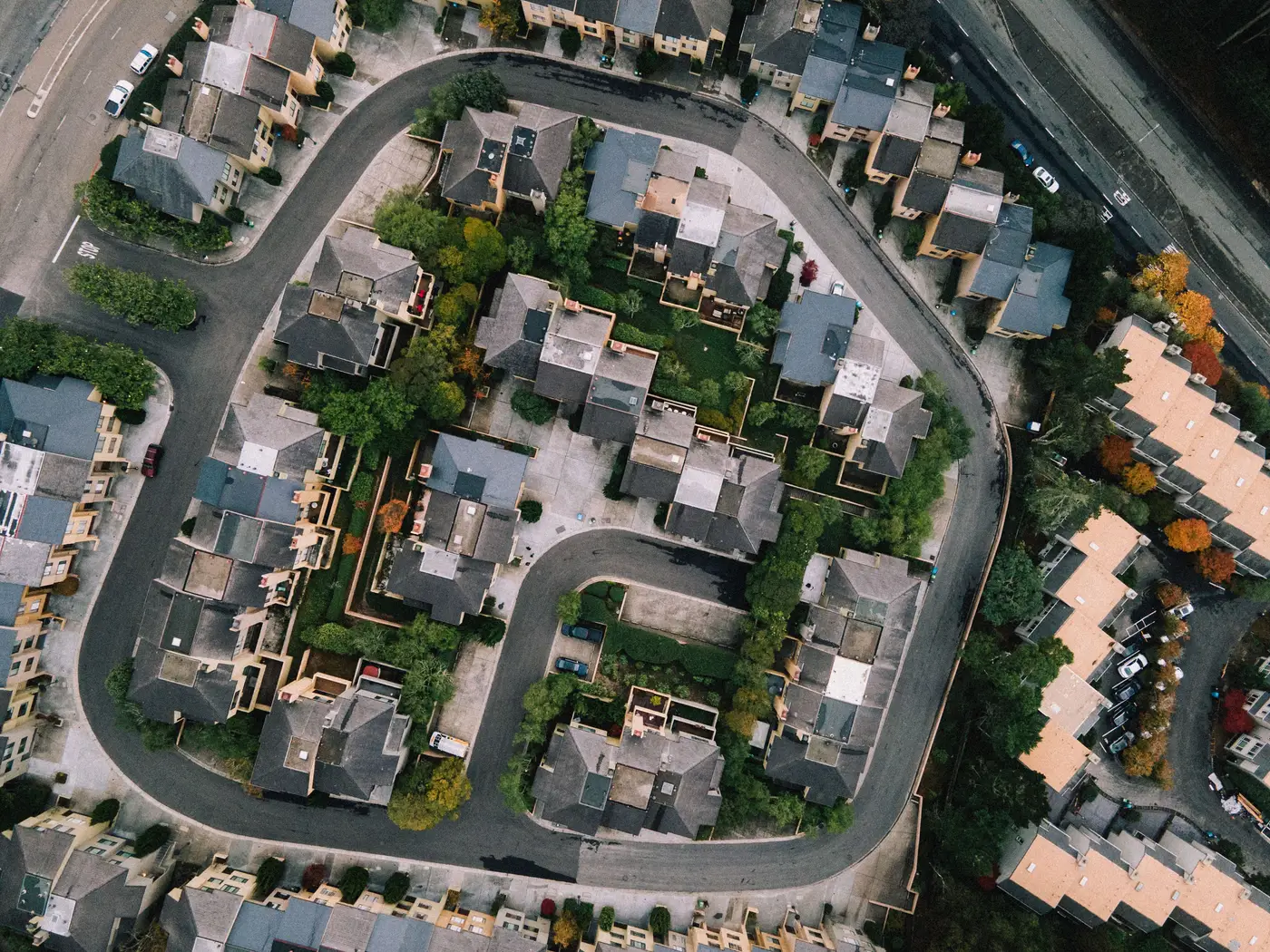
Most cohort studies collect addresses the way they collect everything else in enrollment: by hand, under time pressure, from a participant who spells their street name differently on the follow-up visit than they did at baseline. That's fine for mailing a check-in letter. It's a problem the moment you want to join those addresses to a satellite-derived exposure surface, because the geocode is the thing standing between a participant's actual residence and the pixel value you're about to attach to their record.
Clean the address file before you geocode it
Run the file through address standardization first. USPS CASS certification (or your geocoding vendor's equivalent parsing step) catches the obvious stuff: inconsistent suite formatting, missing ZIP+4, directional abbreviations that don't match the reference set. Do this before batch geocoding, not after. A standardized address that fails to geocode is easy to triage manually. A malformed address that does geocode, just to the wrong place, is the one that sits quietly in your dataset until someone notices a participant assigned to a pixel three kilometers from where they lived.
Flag every record with a match quality score, not just a lat/long. Rooftop and parcel-level matches are what you want. Street-segment interpolation is usable but carries more positional error, often enough to matter at a 250 m pixel edge. ZIP+4 or ZIP-centroid matches should be flagged for review, not silently accepted, because they can be off by a block or more depending on how the ZIP is shaped. PO boxes and rural route addresses need a different handling path entirely. Some geocoding vendors will return a plausible-looking point for a PO box that has nothing to do with the participant's residence, and that point will happily sit inside a pixel and generate a number that looks exactly as valid as every other row in the table.
Address matching error and pixel assignment
Here's where geocoding quality stops being an abstract data-cleaning concern and starts being an exposure assignment problem. If your satellite surface is downscaled to roughly neighborhood resolution, a rooftop-level geocode and a street-centroid geocode for the same participant can land in adjacent pixels, especially along a road that happens to sit near a boundary between retrieval cells. Multiply that across a cohort of a few thousand participants and you get a nontrivial share of records where the exposure value depends more on geocoding method than on where anyone actually lives.
The usual fix is a tiered approach. Use the best available match for each participant, carry the match-quality code as a covariate or QC flag through the whole pipeline, and run a sensitivity analysis that drops or downweights low-confidence matches to see whether your effect estimates move. For movers, geocode every address in the residential history and build a time-weighted exposure series that switches pixels on the date of each move. Static baseline-address assignment undercounts exposure variability for anyone who relocated during follow-up, which in a long cohort is usually a lot of people.
Building this into the exposure assignment workflow
A reasonable workflow looks like this: geocode and QC the address file, assign each geocoded point to its pixel in the exposure surface, pull the full daily time series for the study period, aggregate to whatever exposure window the analysis plan calls for, and join the result back to the participant record with the match-quality flag attached. Keep that flag in the final analytic dataset. Reviewers will ask about it, and you'll want the answer ready rather than reconstructed from an old script.
All of this determines how precisely you can place a participant against the underlying exposure data. A daily surface built for the exact footprint of your study area is only as useful as the geocode that puts each cohort member inside the right cell of it. If you're assembling the pipeline now, Air Quality Exposure is built specifically around that linkage step for your study footprint, and it's worth a look before you lock in the rest of your exposure assignment plan.