The week our geocoding vendor returned a parking lot for twenty participants
It started with a QA script that was supposed to be boring. We run a simple sanity check after every geocoding batch: pull the lat/long for each participant, drop a buffer around it, and flag anything that lands somewhere a person couldn't plausibly live, a water body, a highway median, an airport runway. Usually it catches two or three typos a quarter, a transposed digit, a unit number that got eaten by the parser.
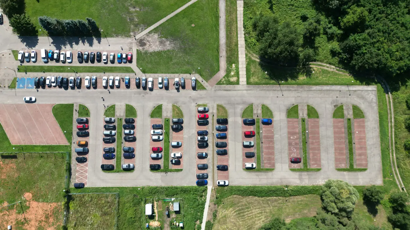
This time it flagged twenty points stacked on top of each other, all sitting in the same half-acre footprint. When we pulled up the parcel, it was a Walgreens parking lot off a four-lane arterial, forty minutes from most of the addresses that had supposedly geocoded there.
The vendor's match type on all twenty records said "rooftop." That's the field you're supposed to trust most. Rooftop means the geocoder found the actual structure, not a street-segment interpolation or a ZIP centroid fallback. Rooftop is why you pay for a commercial service instead of running everything through a free API and hoping.
And on these twenty records, rooftop was wrong in a way that street-interpolation almost never is, because the underlying reference layer had silently merged a batch of rural route addresses into a single commercial parcel somewhere upstream of us. We never got an error. We got a confident, specific, entirely false answer.
For most research, a bad geocode is an annoyance you fix and move on from. For an exposure assignment, it's a different kind of problem, because the error doesn't show up as missing data. It shows up as a number. Those twenty participants all got assigned the PM2.5 value and the monitor-distance covariate for a commercial corridor instead of whatever their actual block looked like, could be a cul-de-sac half a mile from a rail yard, could be a quiet street with nothing nearby. The model doesn't know the difference between a confident wrong exposure and a confident right one. It just takes the number.
We caught this one because the points clustered. A single bad geocode, one participant pinned a quarter-mile off, is much harder to catch, and there's no reason to think it happens less often. It's just quieter.
What we changed afterward wasn't dramatic. We added a second QA pass that checks match type against point density, flagging any cluster of three or more "rooftop" matches within a small radius, since real neighborhoods don't usually produce that. We started keeping the original address string alongside the lat/long permanently instead of letting it drop out of the analytic file, so a field team member can eyeball an address against its coordinates later without re-running the whole geocode. And we got more skeptical of match-type fields in general. Rooftop is a label, not a guarantee.
The other thing this reinforced is how much of exposure error in cohort work comes in before the pollutant side of the equation even gets involved. People spend a lot of care choosing between kriging approaches or deciding how to handle a monitor that's thirty kilometers from the nearest participant, and that care is worth having. But a batch of mis-geocoded addresses upstream will swamp a modeling decision like that without anyone noticing, because the output still looks like a clean column of numbers.
It's part of why we've started building the exposure layer around the addresses we've already validated ourselves, rather than handing a shapefile to a national-grid product and trusting the alignment. Air Quality Exposure builds a daily, neighborhood-resolution surface over exactly the study area you give it, so the geocoding mistakes are yours to catch, not buried in someone else's grid. If your cohort's addresses are sitting in a parking lot somewhere and you haven't checked, it might be worth a look before the next analysis run.